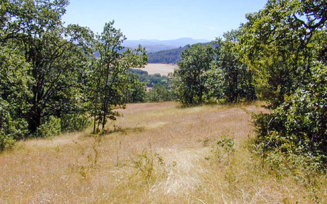
Corvallis Natural Features
Winterbrook led the Corvallis natural resource and natural hazards planning project for Oregon land use planning goals 5 & 7.

Winterbrook led the Corvallis natural resource and natural hazards planning project for Oregon land use planning goals 5 & 7.
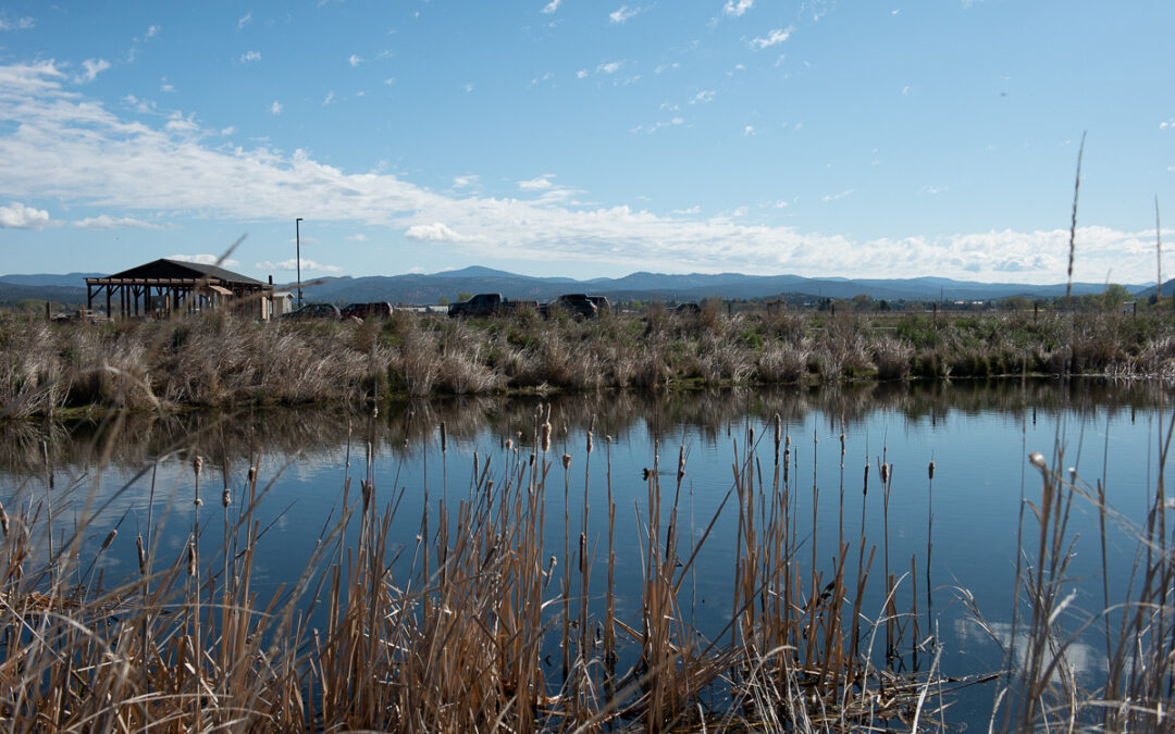
Winterbrook conducted a comprehensive inventory of Goal 5 resources (scenic rimrock and Barnes Butte, stream corridors, wildlife habitat and wetlands) and Goal 7 hazards (floodplains, rock fall areas, steep slopes, dry washes) and worked closely with Crook County GIS to map each resource site / hazard area.

Winterbrook led a multi-disciplinary team of planners and scientists in the inventory of Oregon Land Use Goal 5 resources and Goal 7 hazards.
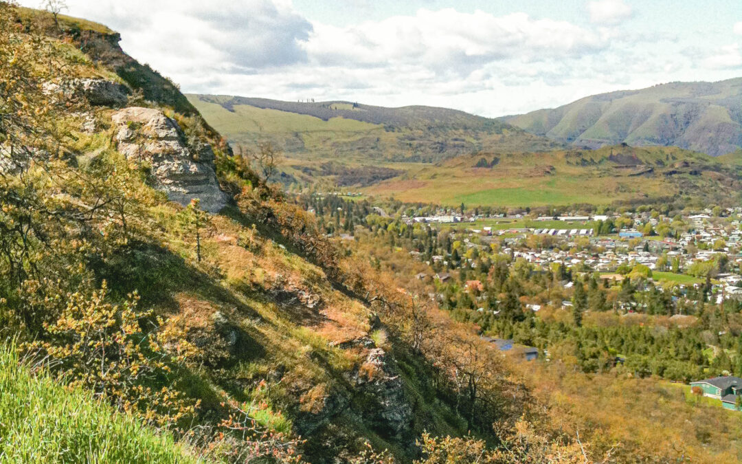
Winterbrook managed a comprehensive evaluation of scenic, cultural and natural resources in a 7,000 acre study area to determine potential impacts from urban growth boundary expansion into the Columbia River Gorge National Scenic Area.
Recent Comments