
Small Government Contract Planning
Winterbrook has provided on-call planning and environmental services to many communities in Oregon and Washington.

Winterbrook has provided on-call planning and environmental services to many communities in Oregon and Washington.
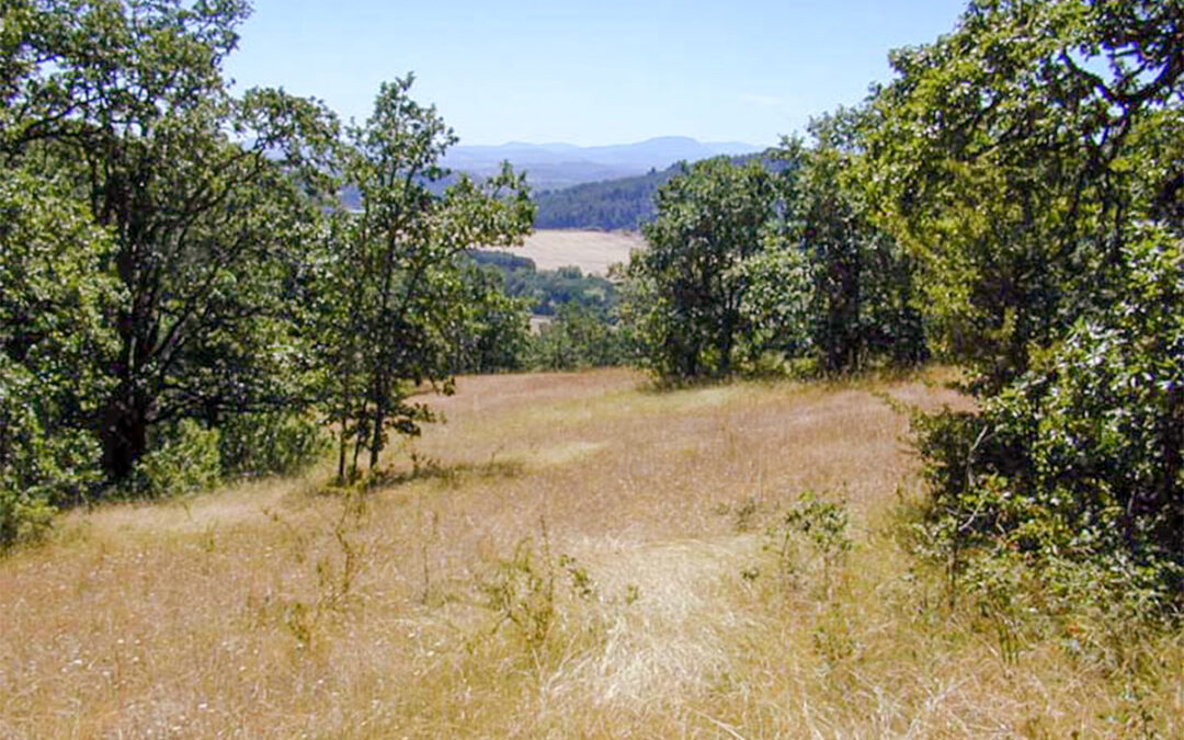
Winterbrook led the Corvallis natural resource and natural hazards planning project for Oregon land use planning goals 5 & 7.
Winterbrook conducted a comprehensive inventory of Goal 5 resources (scenic rimrock and Barnes Butte, stream corridors, wildlife habitat and wetlands) and Goal 7 hazards (floodplains, rock fall areas, steep slopes, dry washes) and worked closely with Crook County GIS to map each resource site / hazard area.

Winterbrook led a multi-disciplinary team of planners and scientists in the inventory of Oregon Land Use Goal 5 resources and Goal 7 hazards.

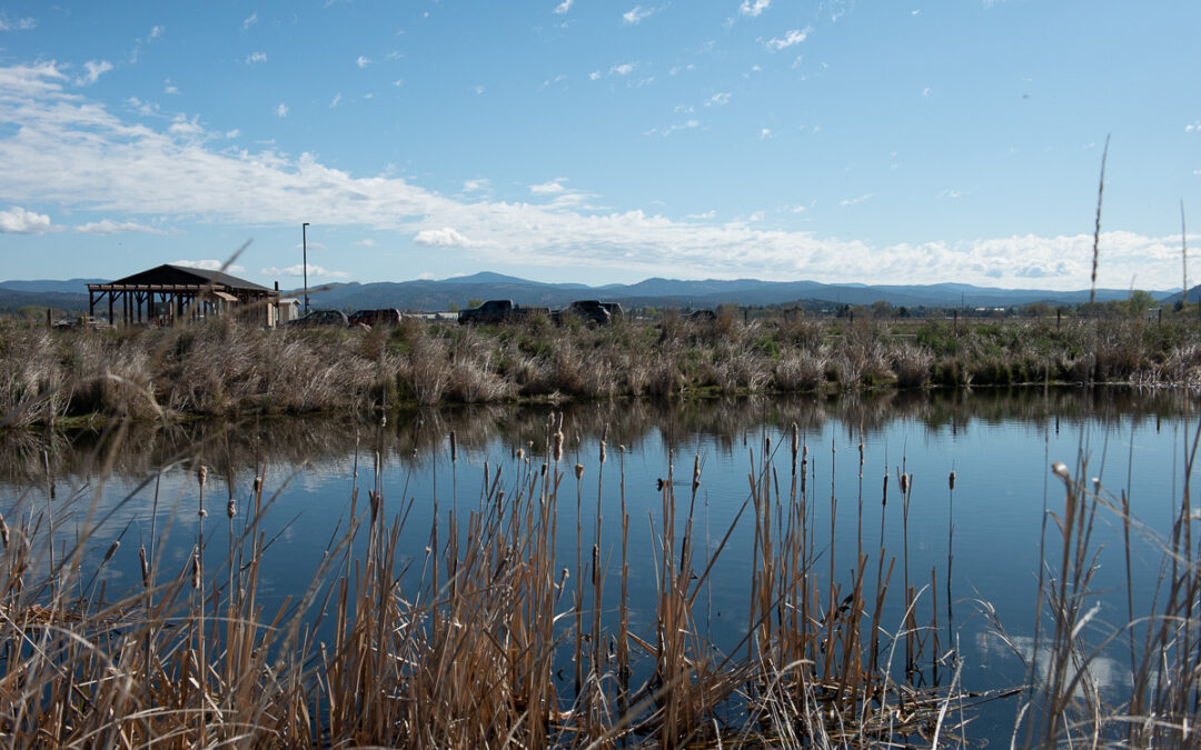
Winterbrook prepared an analysis of the economic, social, environmental and energy consequences of three regulatory options for protecting significant wetlands and riparian corridors within the Clear Lake Road Urban Growth Boundary Expansion Area.
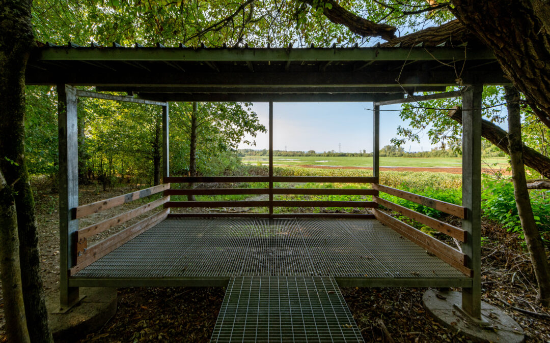
Working with Metro, Winterbrook prepared a Comprehensive Natural Resources Plan (CNRP) for the 2,100-acre Smith and Bybee Wetlands Natural Area in North Portland.
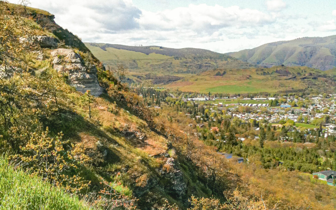
Winterbrook managed a comprehensive evaluation of scenic, cultural and natural resources in a 7,000 acre study area to determine potential impacts from urban growth boundary expansion into the Columbia River Gorge National Scenic Area.
Recent Comments