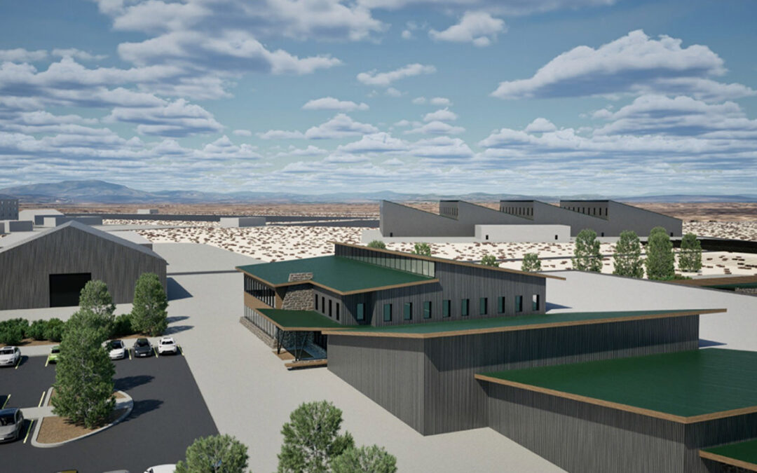
Redmond CORE3
CORE3 near Redmond secures land use approvals for a 300-acre regional emergency response and public safety training facility.

CORE3 near Redmond secures land use approvals for a 300-acre regional emergency response and public safety training facility.
Winterbrook Planning has provided housing, land use, wetland, and comprehensive planning services in Pendleton, Oregon.
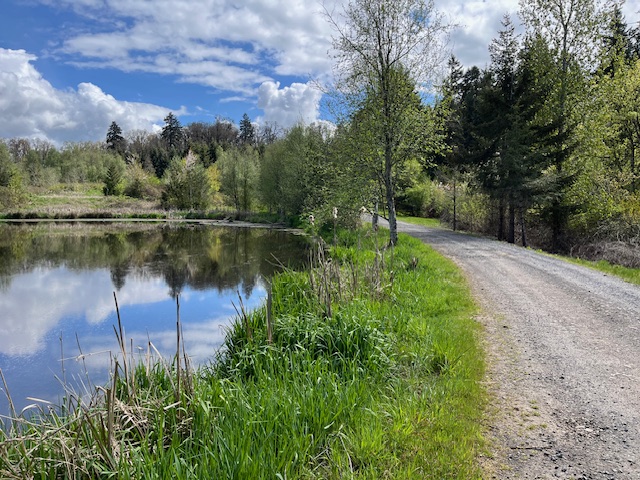
Winterbrook supports Silverton’s Pettit Reservoir park project with wetland planning, trail design guidance, and streamlined permitting solutions.
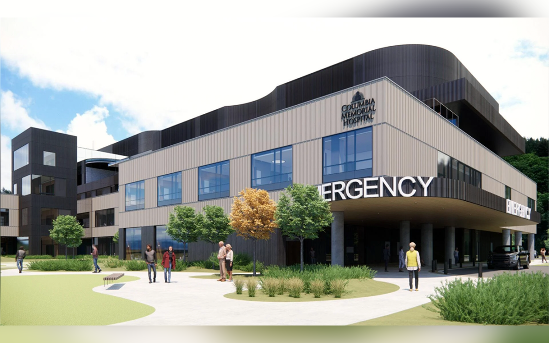
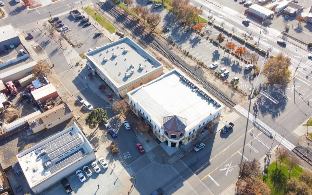
Winterbrook led planning and code amendments for Columbia Memorial Hospital’s expansion in Astoria, enabling a resilient, regionally significant facility.

Winterbrook guided master plan amendments for the Willamette Falls site, supporting the Confederated Tribes of Grand Ronde through approval.

Winterbrook Planning supports Oregon cities with DLCD housing grants, with strategies to expand housing capacity and meet state requirements.
Winterbrook has provided on-call planning and environmental services to many communities in Oregon and Washington.

Winterbrook teamed up with ECONorthwest to develop the City’s Economic Opportunities Analysis, Housing Needs Analysis, Buildable Lands Inventory, Public Facilities Plan and UGB expansion alternatives analysis and craft an overall growth management strategy for the City of Grants Pass.

Winterbrook prepared an update of the Ontario Comprehensive Plan, which included a new policy framework for managing development within the Malheur River riparian area and floodplain.

Winterbrook worked as contract planning staff augmentation for Columbia County to prepare code updates, staff reports, hearing presentations, etc.

Winterbrook Planning offers expertise in public facility land use and
environmental planning and permitting.

Winterbrook led the Corvallis natural resource and natural hazards planning project for Oregon land use planning goals 5 & 7.
Recent Comments